XGRIDS Lixel L2-Pro (16CH/120m) - Survey Grade, Scan More Upgraded Package
Real-time scanning and modelling device
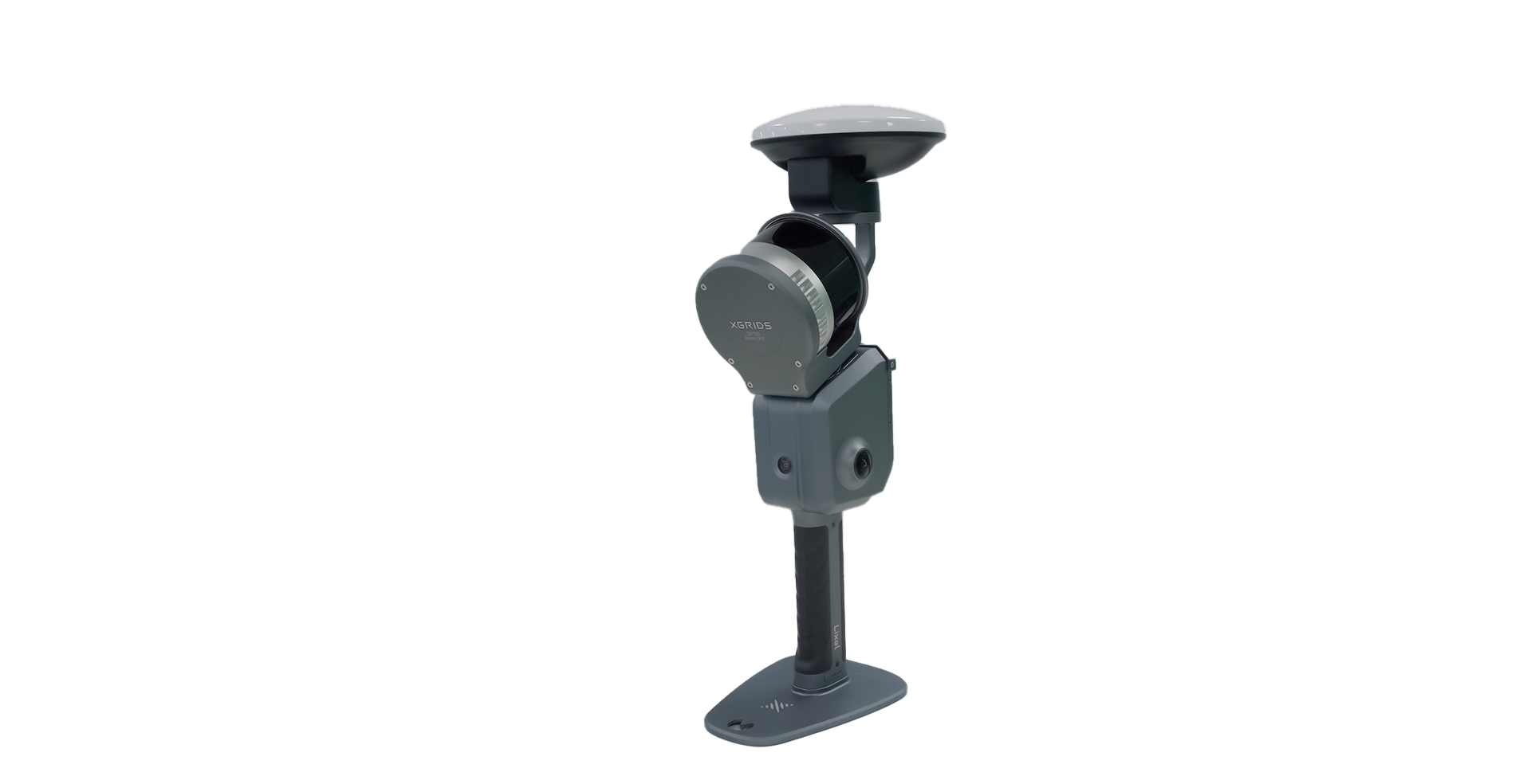
The Lixel L2 Pro combines LiDAR, visual, and IMU modules with AI, delivering real-time point cloud data that rivals post-processed quality, ushering in the "zero post-processing era" for SLAM devices.
XGRIDS L2 Pro- Upgraded Scan More Survey Grade Hardware Package
16 Channel / 120m Range
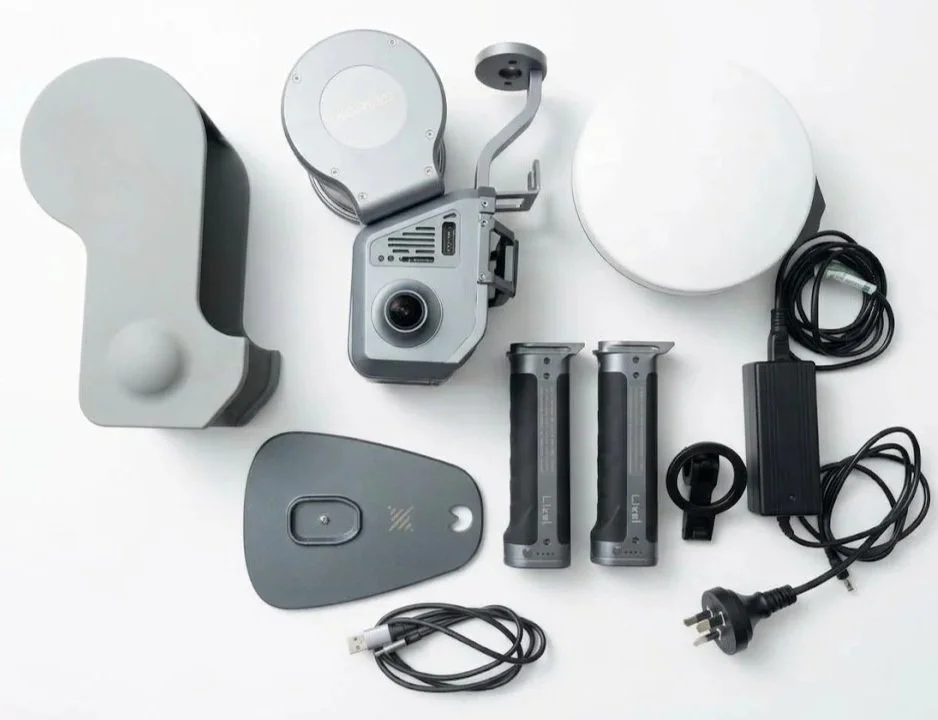
Included Hardware:
1x -XGRIDS Lixel L2 Pro -Handheld 3D Scanner
1x -Survey Grade RTK Module
1x -L2 Pro GCP Collection Plate
1x -L2 Protective Cover
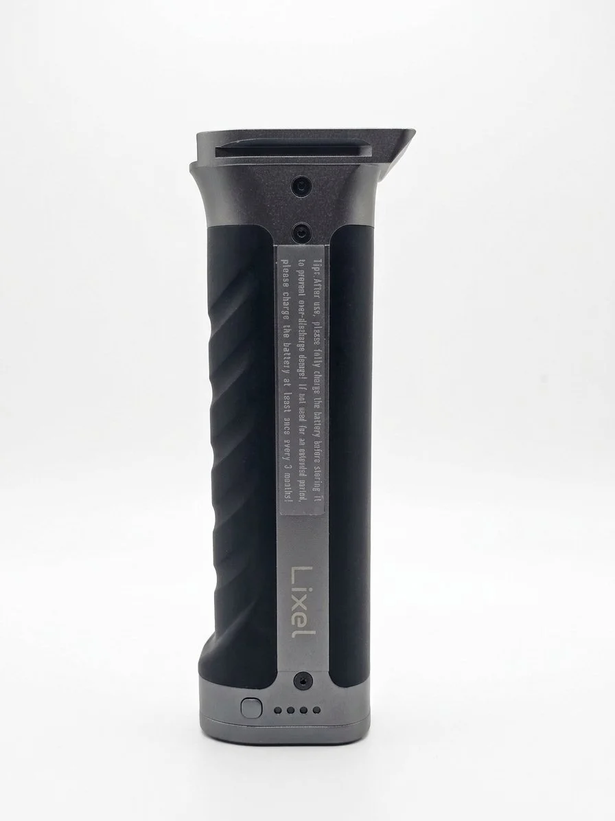
2x -L2 Pro Battery (90min capture time)
Included Package Accessories:
1x -Battery Charger and Converter
1x -USB Cable
1x -Carry Case
1x -Quick Start Guide / Warranty Card / Cleaning Cloth
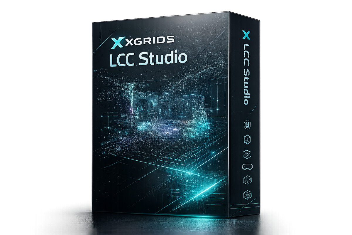
1x -Lixel Studio Software - Basic Licence / 3 PC Permanent licence key
BASIC MODEL WITH STANDARD RTK MODULE, AND SINGLE BATTERY ALSO AVAILABILE
CALL 1300 872 267 TO ENQUIRE
Product Specifications:
Unit Weight: 1.7kg (excluding Battery and RTK Module
Point Range: 320,000 pts/s
Range: 0.5m - 120m
Relative Accuracy: +1cm
Absolute Accuracy: +3cm (with RTK)
Real time Accuracy: 3cm Absolute (Real-time)
Horizontal Accuracy: 0.015 Degree
Cameras: 2× 48MP 1/2” panoramic 190 × 190 Degree
RTK / GNSS: External RTK Module Supported (Standard & Survey Grade)
Storage: 1 TB SSD Internal Storage
Battery Life: 90mins per battery charge (2hrs charging time) 14.4v, 3250mAh
Display Control: Via Lixel Go Phone Application
Outputs Via Lixel Studio Basic Licence ( included in Package)
Point cloud - .las / .e57 / .ply / .dxf
Imagery - .jpg
3GDS - .lcc / .lcc2 / .ply
3D tiles - .usd (Via LCC)
Outputs Via LLC Premium Software ( additional cost not included in package)
Omniverse / Isaac Slm / Web / XR
XGRIDS Lixel L2-Pro (16CH/120m) - Survey Grade, Scan More Upgraded Package
Real-time scanning and modelling device
The Lixel L2 Pro combines LiDAR, visual, and IMU modules with AI, delivering real-time point cloud data that rivals post-processed quality, ushering in the "zero post-processing era" for SLAM devices.
XGRIDS L2 Pro- Upgraded Scan More Survey Grade Hardware Package
16 Channel / 120m Range
Included Hardware:
1x -XGRIDS Lixel L2 Pro -Handheld 3D Scanner
1x -Survey Grade RTK Module
1x -L2 Pro GCP Collection Plate
1x -L2 Protective Cover
2x -L2 Pro Battery (90min capture time)
Included Package Accessories:
1x -Battery Charger and Converter
1x -USB Cable
1x -Carry Case
1x -Quick Start Guide / Warranty Card / Cleaning Cloth
1x -Lixel Studio Software - Basic Licence / 3 PC Permanent licence key
BASIC MODEL WITH STANDARD RTK MODULE, AND SINGLE BATTERY ALSO AVAILABILE
CALL 1300 872 267 TO ENQUIRE
Product Specifications:
Unit Weight: 1.7kg (excluding Battery and RTK Module
Point Range: 320,000 pts/s
Range: 0.5m - 120m
Relative Accuracy: +1cm
Absolute Accuracy: +3cm (with RTK)
Real time Accuracy: 3cm Absolute (Real-time)
Horizontal Accuracy: 0.015 Degree
Cameras: 2× 48MP 1/2” panoramic 190 × 190 Degree
RTK / GNSS: External RTK Module Supported (Standard & Survey Grade)
Storage: 1 TB SSD Internal Storage
Battery Life: 90mins per battery charge (2hrs charging time) 14.4v, 3250mAh
Display Control: Via Lixel Go Phone Application
Outputs Via Lixel Studio Basic Licence ( included in Package)
Point cloud - .las / .e57 / .ply / .dxf
Imagery - .jpg
3GDS - .lcc / .lcc2 / .ply
3D tiles - .usd (Via LCC)
Outputs Via LLC Premium Software ( additional cost not included in package)
Omniverse / Isaac Slm / Web / XR