
Engineered to Dominate by:
increasing project productivity
save client cost
OUR SUPPLY PARTNERS:



We fuse cutting-edge tech with battle-tested technology to crush complex challenges fast.
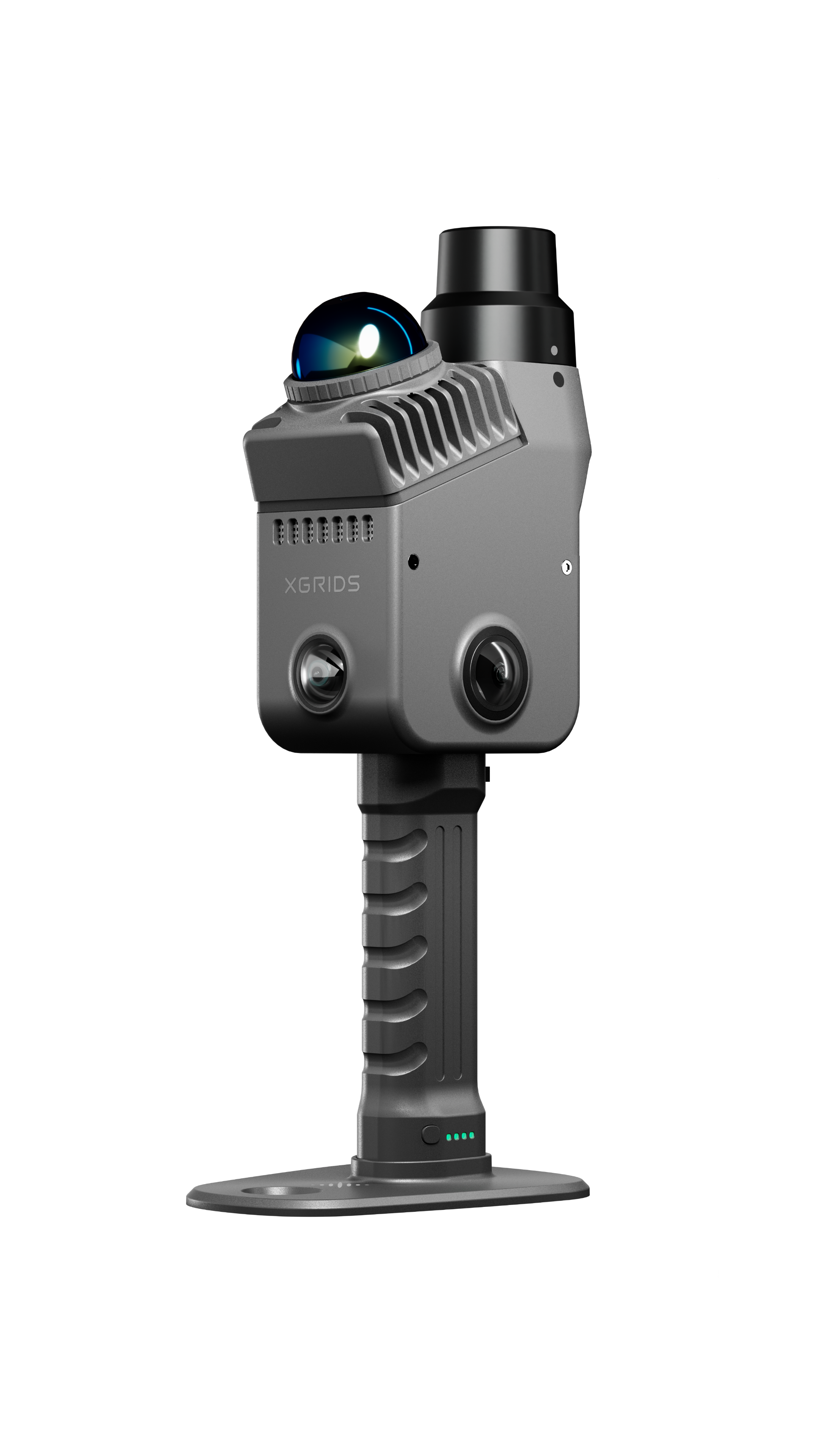
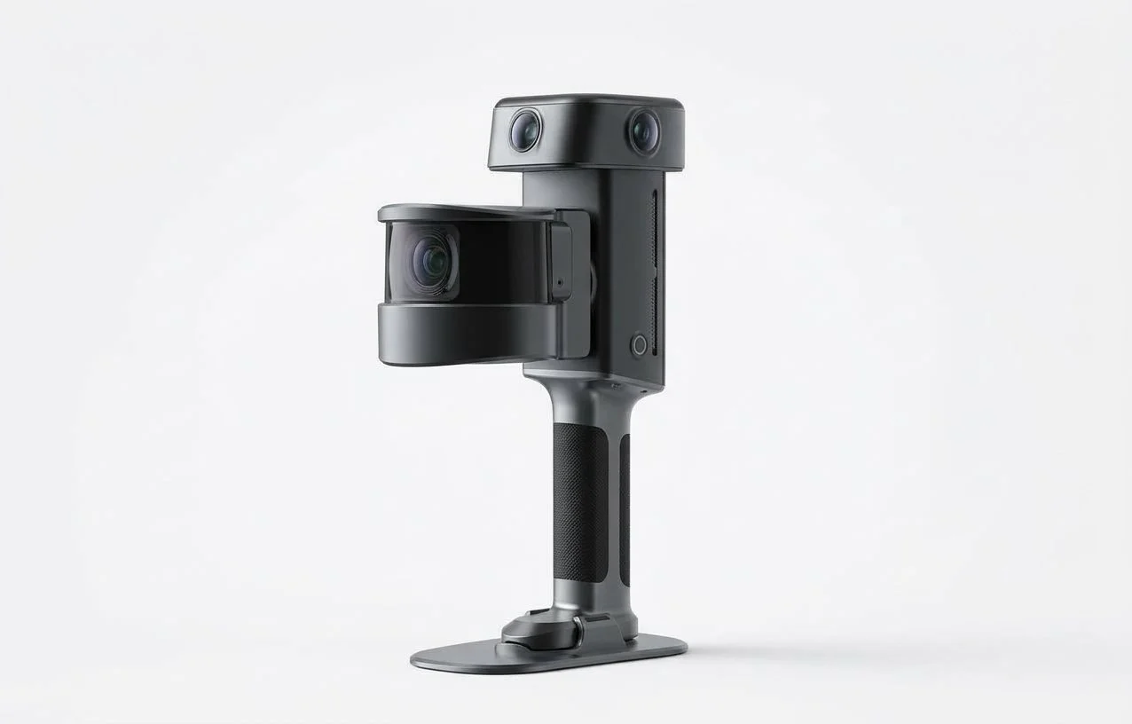
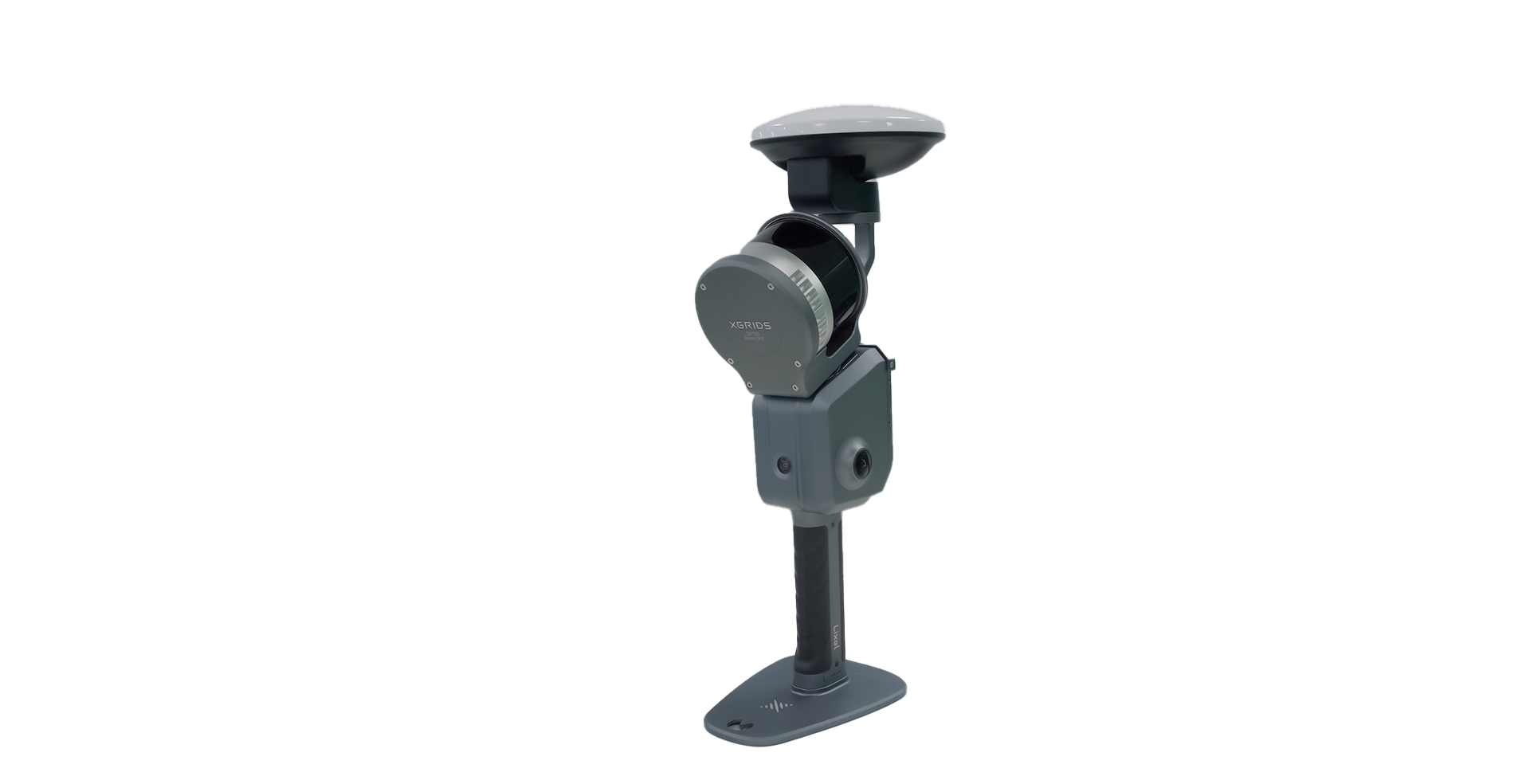
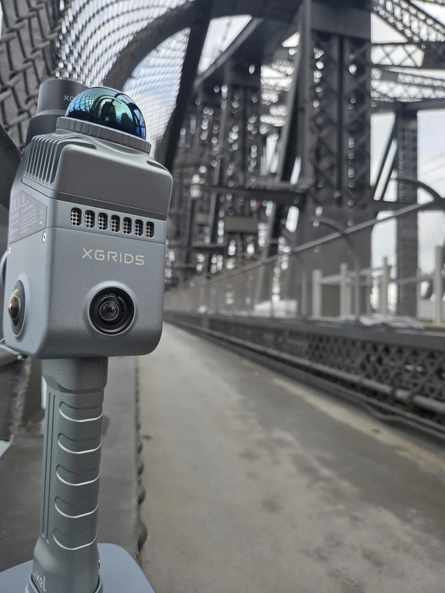
Urbanus Spatial Intelligence division, we provide high-precision 3D LiDAR and 3DGS Spatial Intelligence solutions engineered to turn complex physical environments into immersive digital assets. Our hardware portfolio centres on portable, handheld PPK, RTK, SLAM & LiDAR scanners designed for rapid mobile mapping without traditional tripod and survey setups. Our product range spans across lightweight devices like the compact to enterprise-grade high-precision XGRIDS- 3DGS scanners combine high-density LiDAR with integrated high-resolution panoramic cameras.
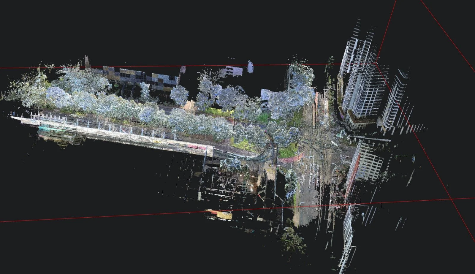
These systems capture true-colour, centimetre-accurate 3D point clouds in real time across Civil and building infrastructure, deep underground mines and tunnelling, and intricate indoor environments. When combining and pairing our technology with UAV Drones and Vehicle mounts the applications to create digital worlds are endless and no project is outside the technology capability.
Complementing its hardware, Urbanus offers an end-to-end software suite driven by advanced multi-sensor sensor fusion, automated point cloud processing, and cutting-edge 3D Gaussian Splatting (3DGS) technology. Operators are provided immediate on-site data verification, while the desktop Software platform automates map fusion between UAV Drone Captures and roadside, with internal hardware AI integration of noise removal, volume calculations, and coordinate transformations. Through the software, raw spatial data is converted into photorealistic, light-accurate 3D models. Supported by seamless integrations and dedicated plugins allow survey-grade outputs to be exported into Revit, CAD, Scan-to-BIM, Unreal Engine, and GIS workflows.
Urbanus eliminates data bottlenecks by replacing lengthy traditional surveying methods with single-pass, walk-through digital twin generation. Its technology serves diverse commercial sectors, including architecture, engineering, and construction, digital asset management, virtual production, cultural heritage. By drastically reducing on-site downtime, operational labour costs, and data post-processing timelines, We empower clients with scalable, actionable spatial data to make critical engineering decisions and build intelligent digital worlds.
In addition, Urbanus can provide UAV drone surveys for large sites and more complex environments, and also merge underground digital utility asset maps into the 3d immersive digital world powered by Undermaps Ingest. By managing and integrating the below ground, on surface and UAV aerial, Urbanus is the only supplier across Oceania with the capability and capacity to provide clients the FULL immersive experience.
By providing clients a full 3d digital world, Our clients are able to simulate dynamic environments, space-proof and quality check projects without requiring exhaustive resources. When combining our technologies into one complete ecosystem and undertaking frequent scans of the project, Urbanus have the capability to mash various data sets into one complete digital model, allowing the end user a a complete 4D timeline of the project across all major milestone and project changes.
WHO WE WORK WITH:










ONE PROVIDER,
END-TO-END SOLUTION.
Whist we provide direct sales and services of XGRIDS products, we also offer in-house professional services. Every project is captured with intention, from 3D scanning to end-to-end data processing, transferred into a format you can use.
01
ONSITE CAPTURE
your data,
your way
02
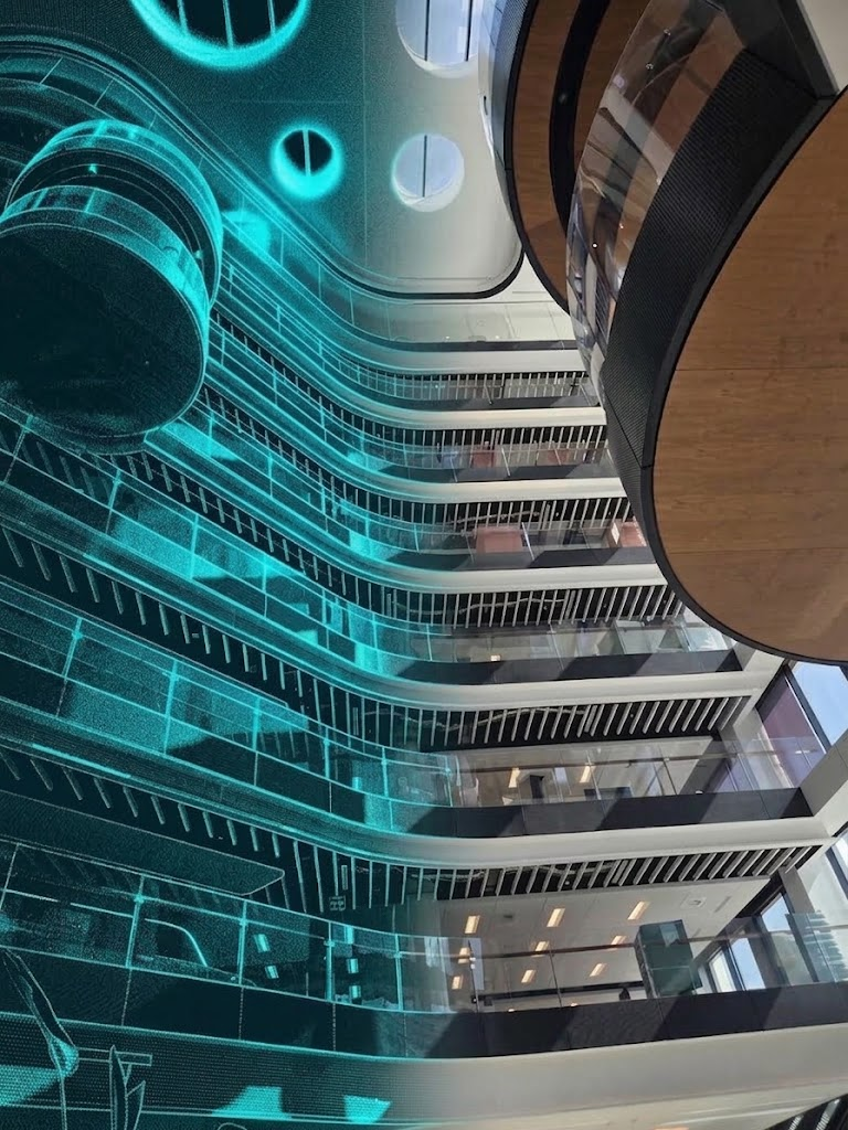
DATA PROCESSING
03
DATA MODELLING
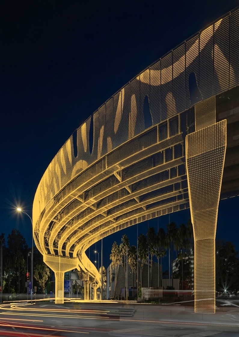
Urbanus’s expert in-house team can undertake full service from start to finish, once onsite Data is captured, our team sets to work on processing and modelling the data into full immersive 3D models. generated into your preferred output
Whilst our hand-held LiDAR systems use SLAM, PPK, RTK, GCP’s and point cloud data collection systems supported by satellite geospatial referencing. Once an object is scanned, we can provide complete accuracy to 1cm every detail is redefined, from true-to-life to sharper point clouds.
Once the scan is mashed, processed and modelled, we can export data into:
GIS – (QGIS, ArcGIS, LAS, E57, RCP, OBJ)
Point Cloud formats
Digital Twins
Autodesk / BIM
CAD
Revit
Armed with UAV drone services, Urbanus can also combine the on ground, aerial and underground utilities into one model, supported by CAD overlays to give a complete picture within a 4d context.
Past Projects & industry user
case studies:
Civil engineering:
Our expert team have a curated collection of our past work, where complex infrastructure and project requirements meets digital strategy. Each project pushes scanning technology to the edge and reflects our drive to deliver thoughtful, effective solutions that are totally customised to the end user delivering the results required.
Building construction:
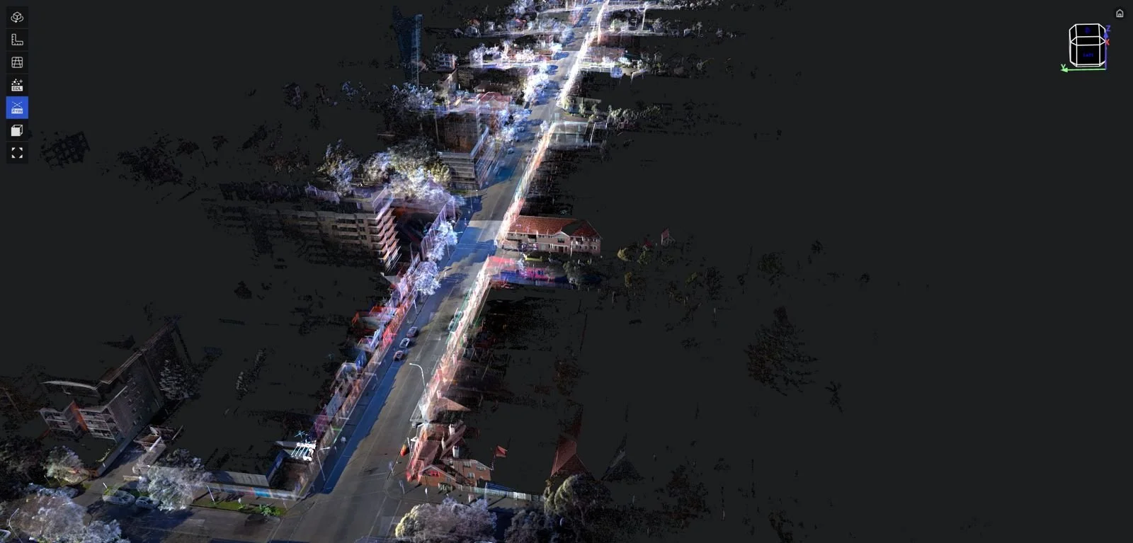
INDUSTRY PARTNERS: Tier 1 & 2 Civil contractors and Government Agencies
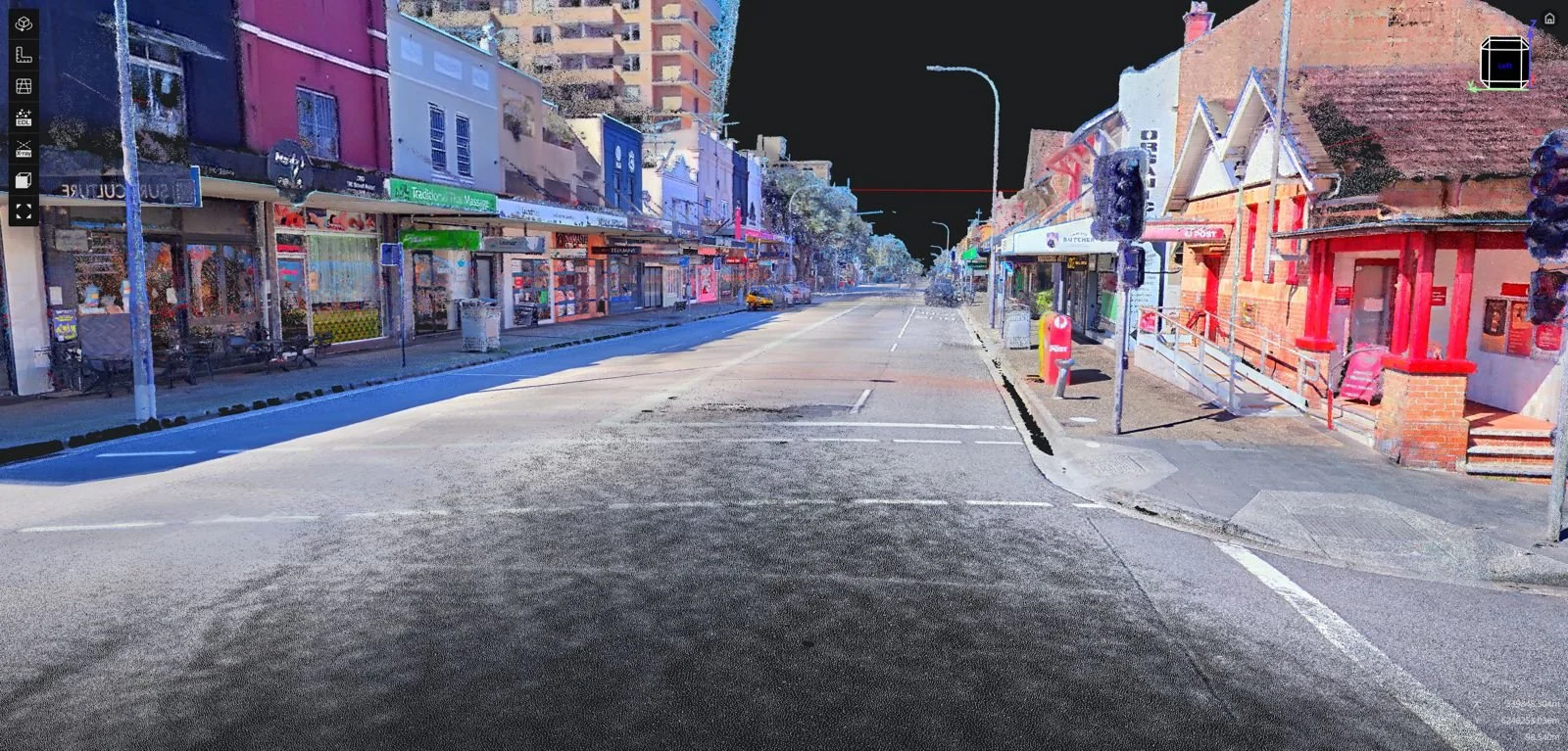
DEVICE USED: Lixel L2 Pro - 16Ch / 120 Range handheld with body harness
LOCATION: Bondi Road, Bondi NSW
DESCRIPTION: Bondi Road alignment capture was used by Government agencies to space proof future road safety upgrades, and understanding asset ownership, and review current road conditions for Pre-dilapidation. the one data set has been used across multiple disciplines and agencies to fully understand current conditions and where strategic improvement scan be made.
crash investigation and forensic services:
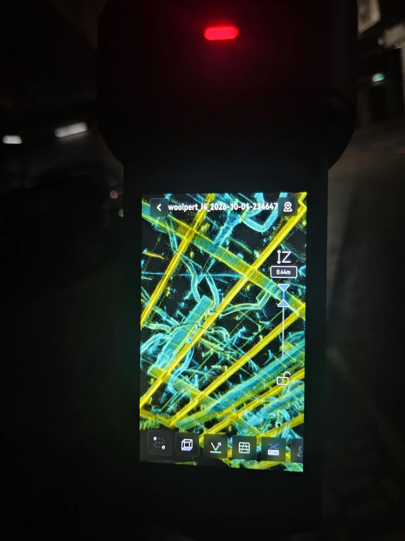
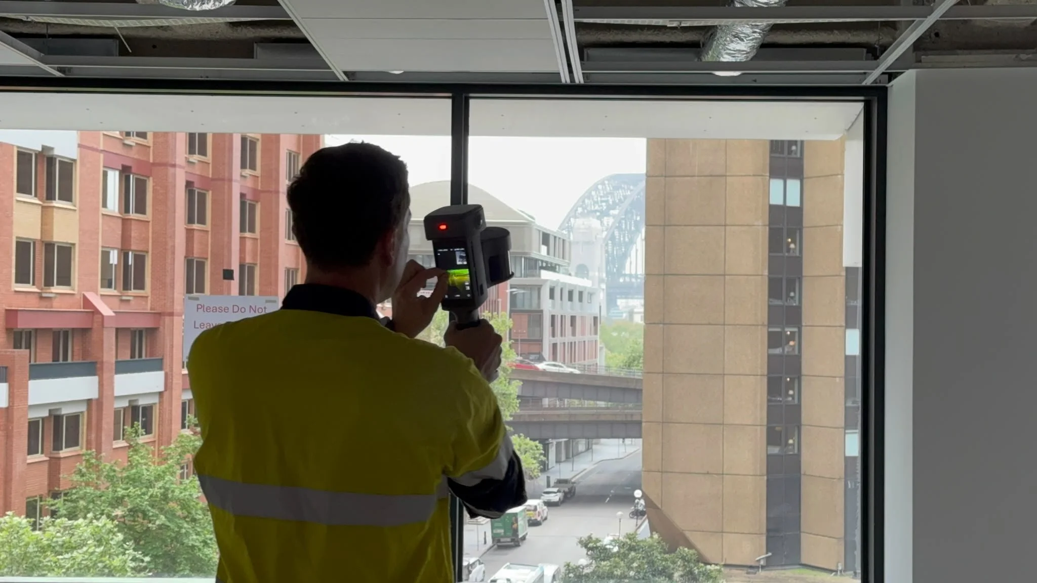
DESCRIPTION: 3d modelling solutions have been used across multi story developments, where active services like HVAC, electrical and plumbing can be easily identified within the structure for facilities management and reduction of reactivate maintenance. In addition space proofing and planning exercises can be conducted from the data sets for proposed Tennent to ensure the space is right before proceeding with a lease.
INDUSTRY PARTNERS: Tier 1 & 2 Construction Builders and Property Developers
DEVICE USED: Lixel L3 - 16Ch / 120 Range handheld
LOCATION: Sydney CBD
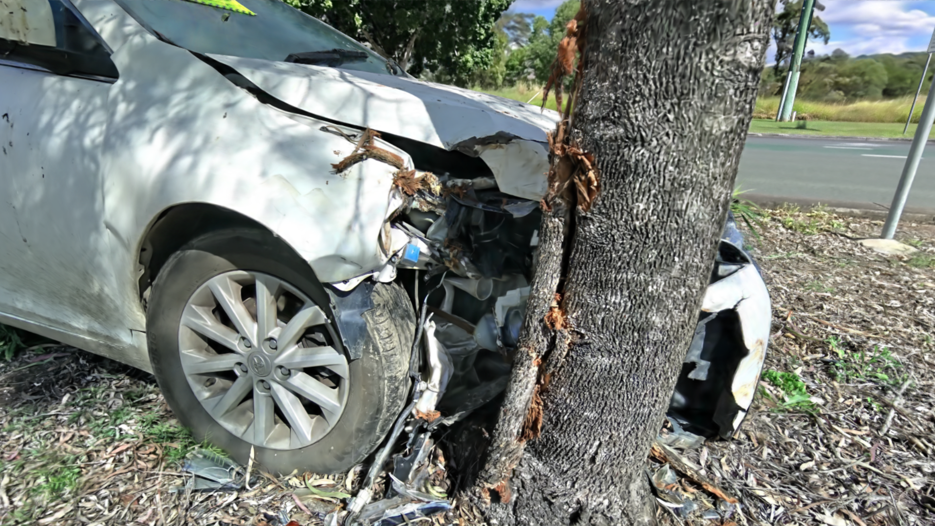
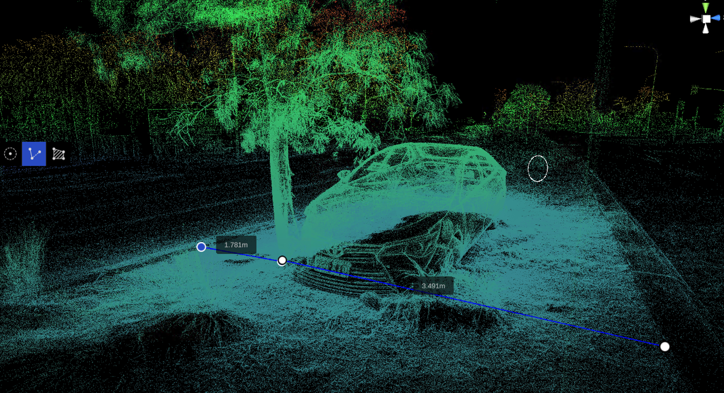
DESCRIPTION: Given the high accuracy in data collection and reconstruction our technology has been deployed across Australia for Major crime units and road crash investigators where reconstruction of the scene can be a valuable asset to be used within court litigation or prosecution. the benefit to these agencies tis that data scanning does not contaminate a site and provides an accurate reconstruction of the aftermath of events.
INDUSTRY PARTNERS: Police Services and Independent Crash investigators
DEVICE USED: Lixel K2 handheld
LOCATION: Australia Wide
Heritage re-construction:
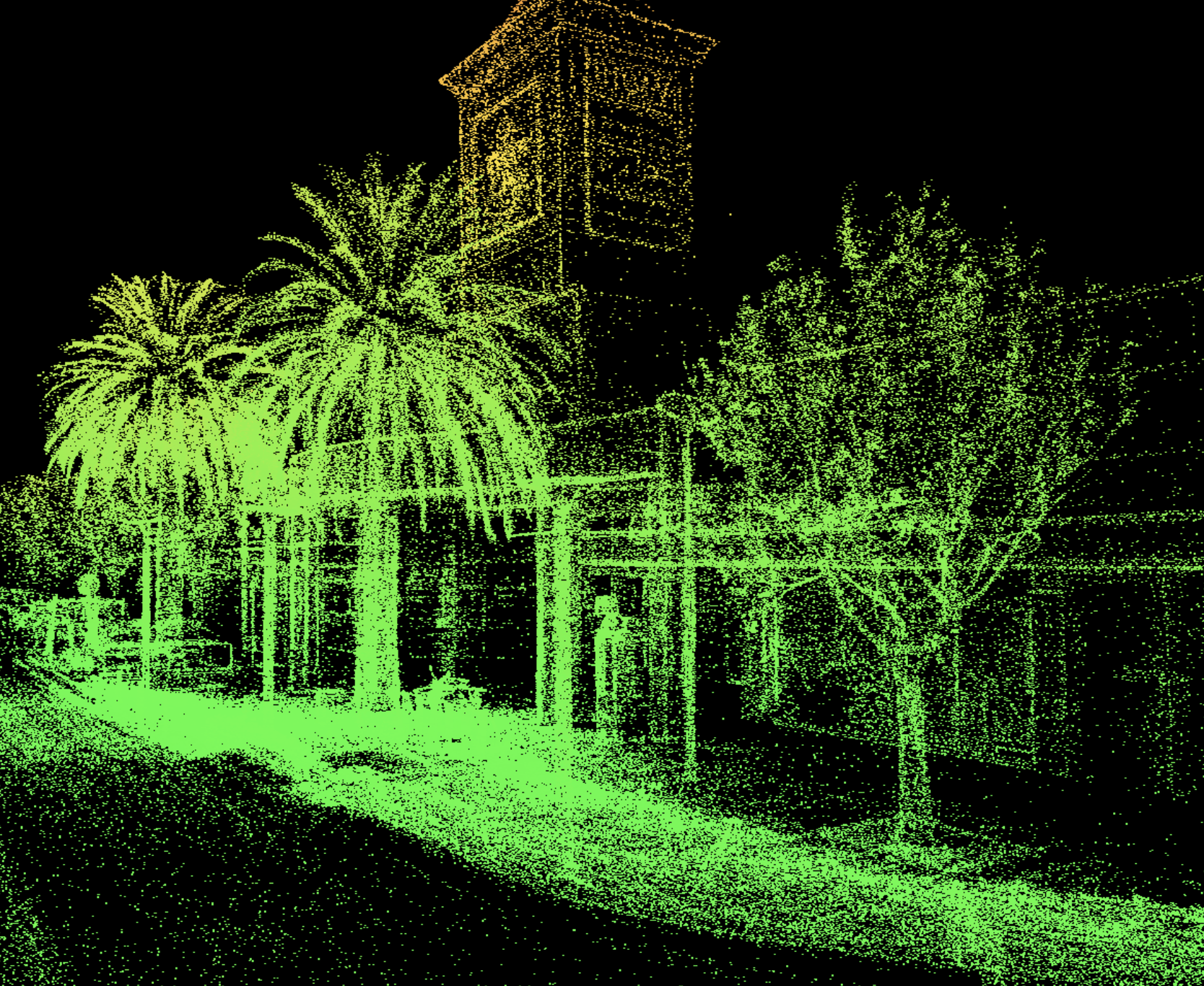
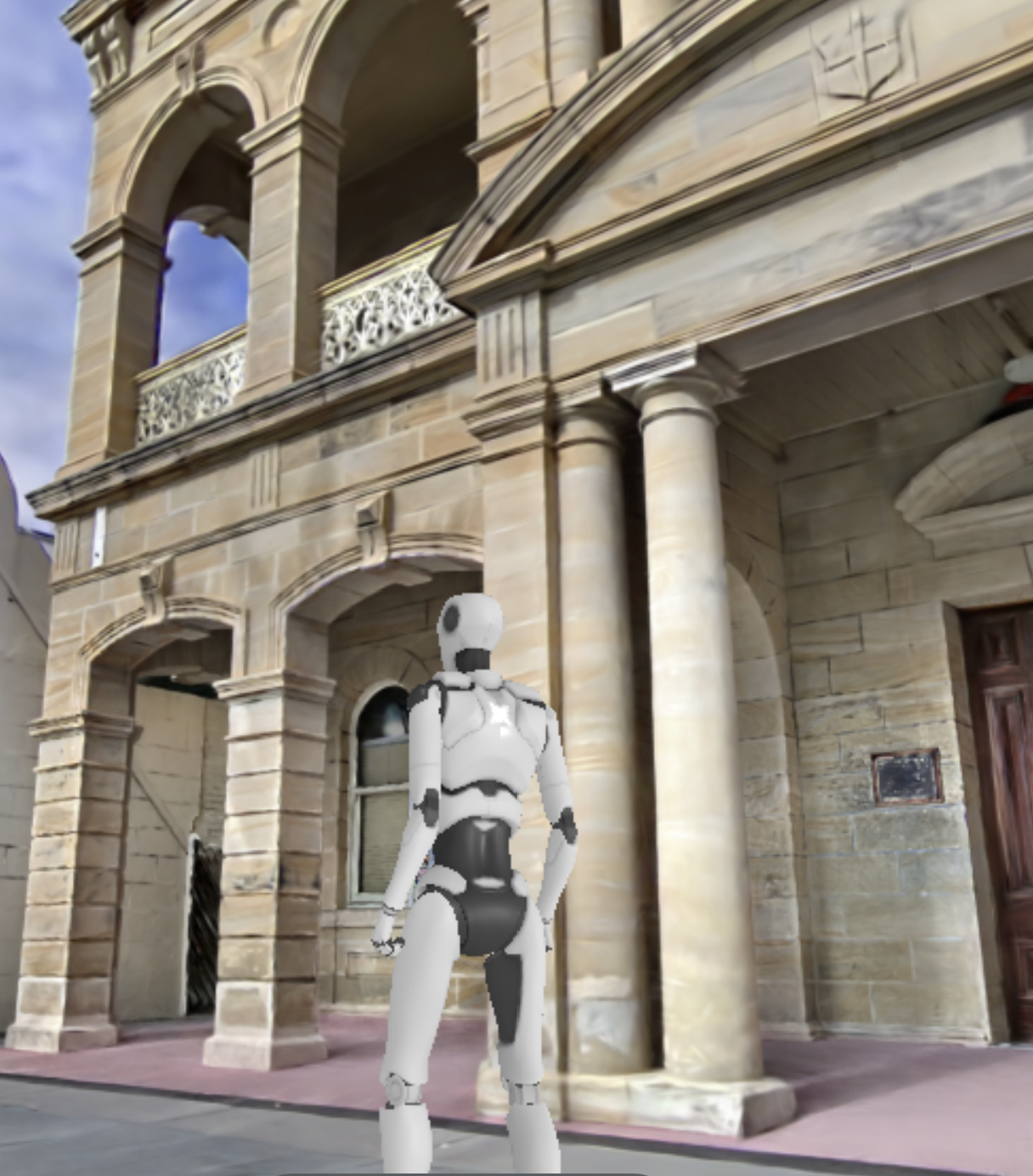
DESCRIPTION: Heritage assessments are captured with ease, from defect finding, dilapidation reports, our units allow the user to capture real time issues with existing building structures and can be relied upon for future comparison where defects become worse or have intricate complexities in preserving cultural heritage
INDUSTRY PARTNER: GOVERNMENT AGENCIES, HERITAGE CONSULTANTS & STONE MASONS
DEVICE USED: Lixel L2 - 16Ch / 120 Range handheld
LOCATION: Sydney CBD